1/26/2014

Quality Wines & Great Hiking: Badacsony

The storm is coming... panorama from Badacsony
Most of the tourists, who visit Hungary in summer, spend some days at Balaton in order to experience the incomparable atmosphere provided by Hungary’s biggest lake. Those who chilled enough on the shore and swam in the smooth water have lots of opportunities to try other forms of leisure. First of all, wine culture of Balaton Uplands is really rich, so the area is a genuine paradise for hedonistic wine lovers.  The most popular and important region where the best nectar is produced in huge vineyards is called Badacsony. (Note that the name Badacsony refers to a small village and to the hill [438m] as well).  The best way to get acquainted with local wines is to visit one of the inviting pubs or cellars where local wine-growers sell their goods. Secondly, one can visit exhibitions dealing with folk art and the history of the region. These are usually cheap but worth to visit! 
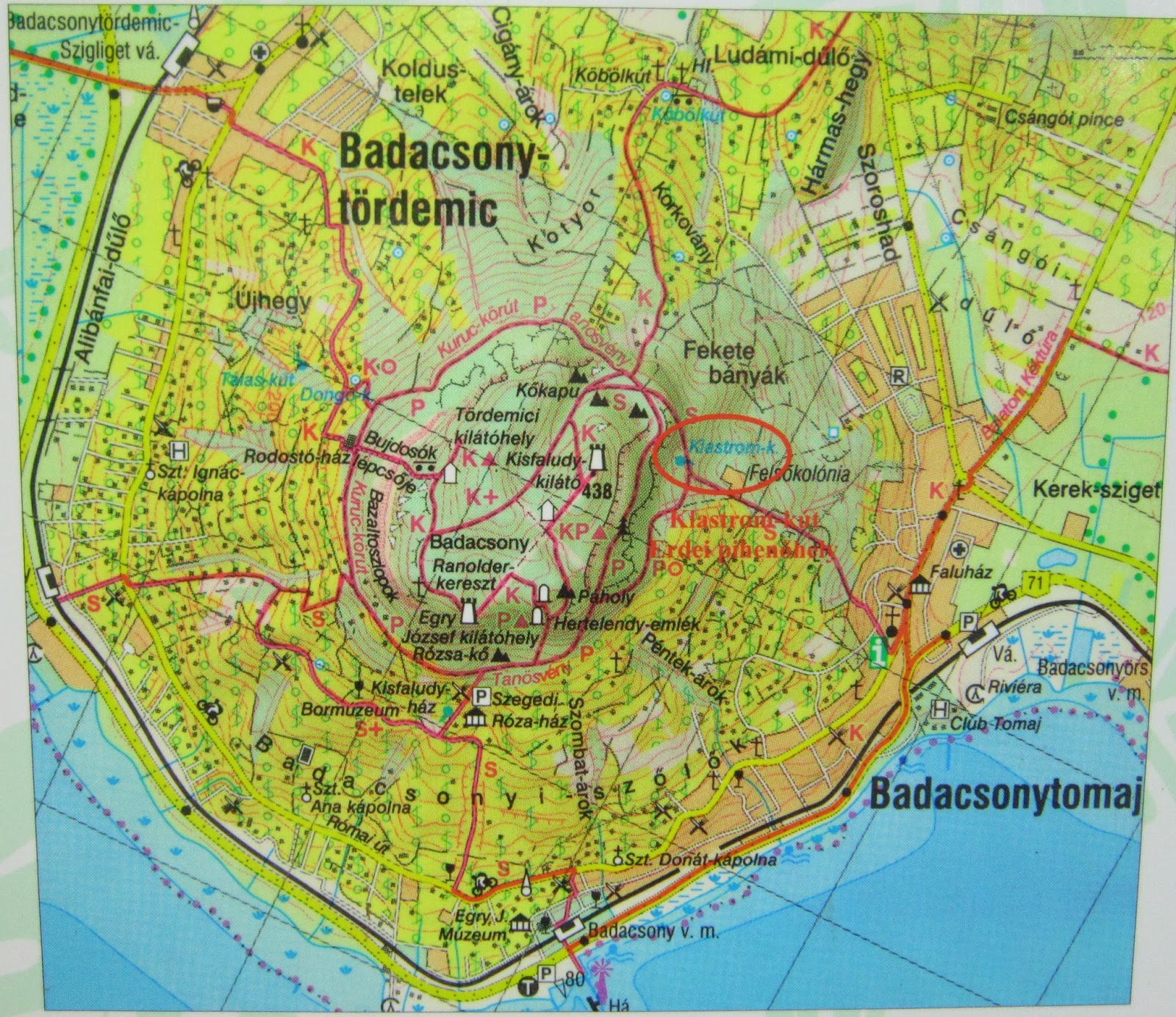

Shore, wine, culture, and art… this is what tourist can get if they decide to explore Badacsony. In addition, the hill is a unique place for hikers! Since the blog deals with must see hiking destinations, let us concentrate on the basic information hikers need to know about the area. The hill is laced with several safe hiking trails. Thestarts from Badacsony railway station, and leads up to the vineyards. If you choose this trail, stop for a glass of muscatel at Kisfaludy-House by all means. Then continue your trip on one of the roads: Kuruc-körút, marked withcircumvents the hill; theconducts you to Bujdosók lépcsője [Stairway of the Exiles] which is a long sequence of stairs made of basalt. Badacsony used to be an active volcano and the signs of volcanic activity are still visible on the surface. Some of these are the basalt-columns that remind the observers to surrealistic creatures made of grey rocks, guarding the top of the hill. An explanatory notice near the road says the following about this phenomenon, “as the basalt from the lava solidifies, it contracts, and because of this a series of column shaped cracks occur within it”.


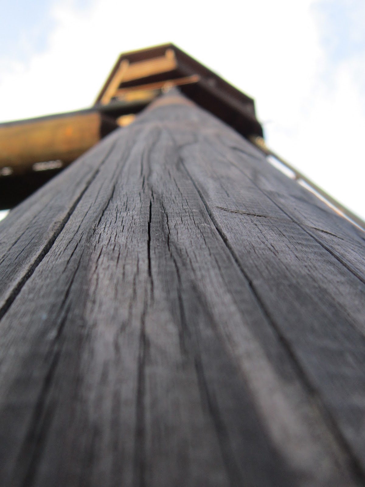
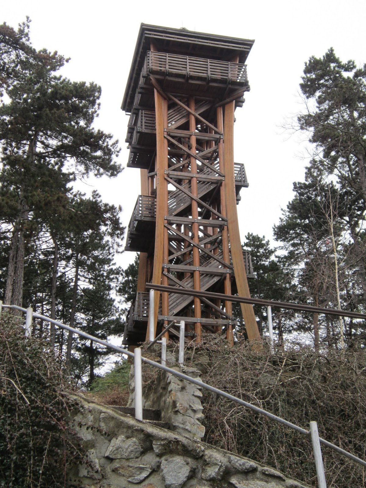
There is a look-out tower at the top of the hill [438m] called Kisfaludy kilátó (those who only want to visit the tower take thefrom Rózsa-kő!), but before getting there one will go by Ranolder-kereszt which is a huge cross getting built by a bishop called János Ranolder. One can find these easily if they follow the blue sign. According to the local wine-growers, the cross protects the vineyards from decay. 


It does not take too much to discover this region, but one does not simply forget Badacsony if they visited it once! Taste quality wines, learn more about Hungarian culture, climb up to the majestic Badacsony, and take delight in the beautiful panorama that you can see from the lightsome look-out tower.  


Most important sights:


Bujdosók lépcsője 

Kisfaludy-kilátó

Ranolder-kereszt

8/25/2013

Here We Go Again! Best of Kőszeg Mountains

After more than 2 months of silence I’m back again, therefore you can read a brand new post on http://hikinginhungary.blogspot.hu/. I have skipped writing for several reasons –sorry for that– but I start it again now.  The summer holiday was long, but not long enough to let me do everything I wanted to do. Although, I am very enthusiastic about hiking, I had to have a break lately, which is finally over! Let me tell you more about the adventures I had yesterday. 

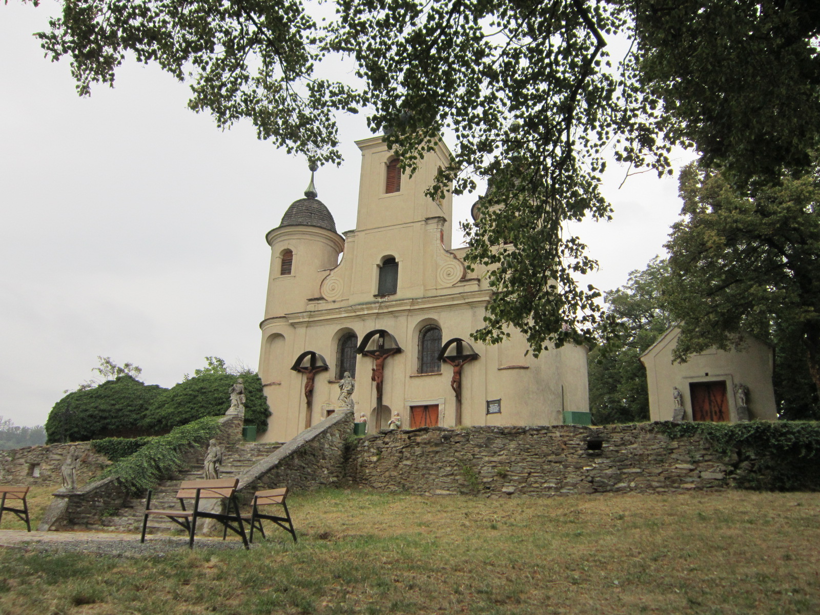
Jézus Szíve Church (1892)

When I was a little schoolboy, I was taken to an excursion with my peers to Kőszeg Mountains. This is a mountainous region in West Hungary, near the Austrian border. It is famous for its highest point Írott-kő (883m, Ger: Geschriebenstein) [literally means written stone in Hungarian] where a stone built lookout tower is located. From this point, which is the highest of the Transdanubian region, even Lake Balaton is visible if the weather is clear.

Óház-tető, a lookout tower built on the ruins of a medieval fortification (1248)

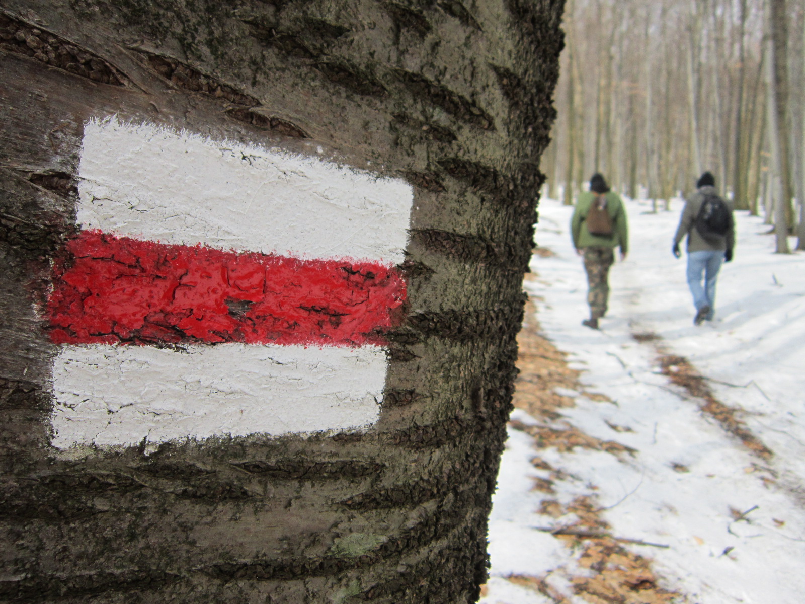
I had free time and motivation on Saturday, so I travelled from Sopron to Kőszeg by train to start this little adventure. (Trains go to Kőszeg from Szombathely hourly – click here for the actual schedule)! I couldn’t recall too much of my elementary school memories so I decided to look for a new trail up to Írott-kő. This area is full of marked hiking trails and the place I wanted to visit is the western starting point of Országos Kéktúra (National Blue Trail). All in all, it is absolutely ideal for shorter or longer hikes as well. I planned to go this way, following thesign. 
(Distances from the start are marked in brackets). 


Kőszeg railway station  Kálvária (3.3km) — Hét-forrás (6.7km) — Óház tető (7.8km) — Vörös kereszt (9.1km) — Stájerházak (11.8km) — Hörmann-forrás (13.7km) — Írott-kő (16km)

When I arrived in the town, I was excited and worrying about the weather. Unfortunately, it was raining through my journey to Kőszeg and it stopped only for some minutes while I was hiking. Therefore, I went only until Vörös kereszt, where I stopped and turned back. Bad luck, isn’t it? However, this trail it probably the best way up to Írott-kő, showing you the best of the region. 

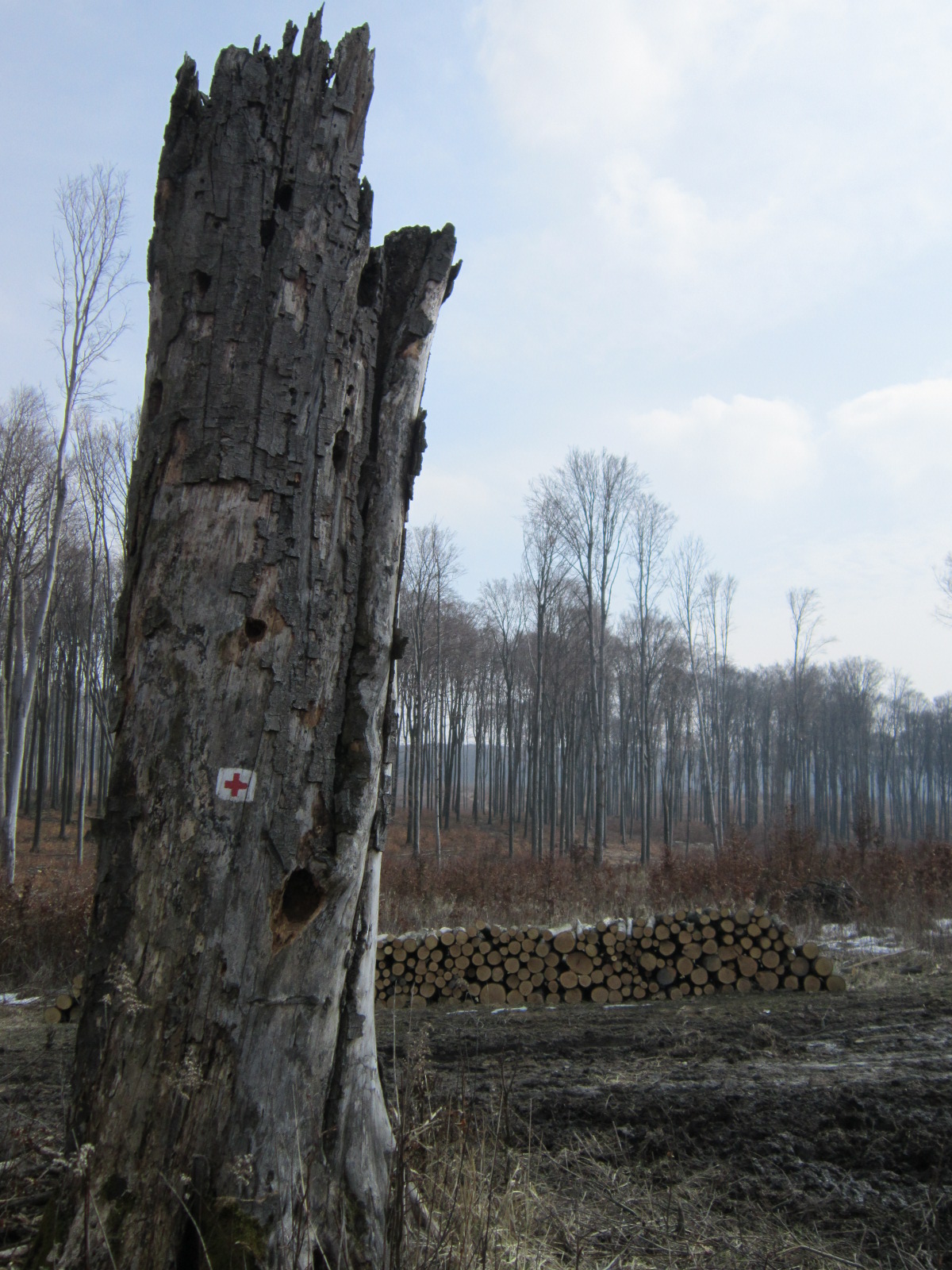
It is called Red Cross, because there is a road leading to Rőtfalva [rőt means red] from here. 

Start the hike from the railway station and walk into downtown. Visit Kőszeg two times if you can: one for sightseeing (there are beautiful churches and streets, what’s more there is a castle there) and another for hiking. You can start following the blue sign from Jurisics Square. First you will arrive at the Calvary (375m) where you can stop for taking some photos of the landscape.


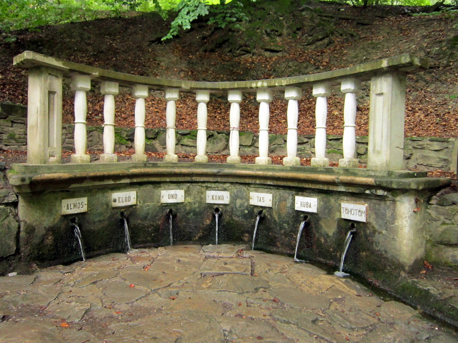
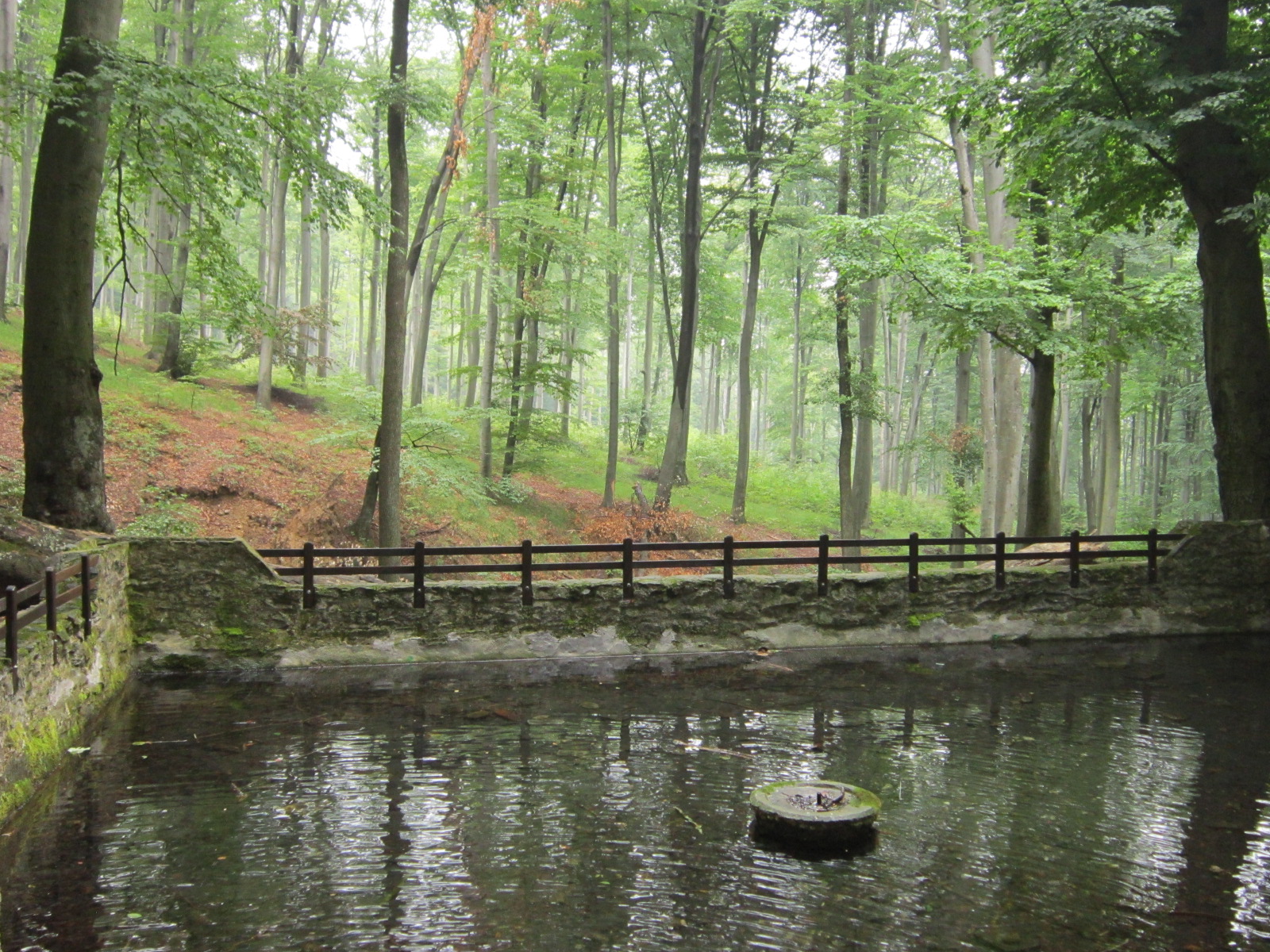
After another ~3 kilometres of walk you will reach Hét-forrás (424m, seven springs) which is a beautiful place known since the 14th century, visited by many hikers from year to year.


Hétforrás is named after the seven conqueror leaders of the ancient Hungarian tribes: Álmos, Előd, Ond, Kond, Tas, Huba, Töhötöm 


After refreshing yourself with cold, clear spring-water, you can continue your hike to Óház-tető (607m) where a lookout tower, similar to the one on Írott-kő, is located. Climbing up to this point is rather difficult, so you will probably have some rest after arriving. Look for the simple blue sign here also, because this is a conjunction of several routes (the green one and the blue cross also leads to here) and you can easily pick the wrong one. Walk forth until you reach Vörös kereszt (Red Cross). I stopped here because it started to rain heavily and I was 10 kilometres away from Kőszeg, not having completely waterproof equipment. (I have a post about proper gear, click here to read that)! 

However, what I saw was beautiful and the rainy weather couldn’t kill my enthusiasm. Írott-kő, I’m coming next time, maybe on the next weekend! 

Just a photo of this small, colourful insect

5/14/2013

Photo Compilation


Although I’m still amazed by the things I saw and experienced at Kékestető, I started to check out the photos I shot during my previous hikes. I have truckloads of them; however, I don’t want to overwhelm my blog with visuals. I like these photos and by watching them I relive some parts of being outdoors.  Therefore, I created a photo compilation, which I would like to show you in this post. Let me mention that I don’t have too much to do with professional photography, and I don’t have expensive photo equipment (I use a compact digital camera: Canon A3300IS)! But still, I’m enthusiastic about this. Take a look at the pictures below. If you would like to see more, you’ll find some in the slideshow located at the sidebar of the blog. Have fun!      


Bakony

Bakony

Sopron-Mountains

Buda-Hills

Mátra

Mátra

Mátra

Mátra

5/03/2013

A Dream Came True: Kékestető


In general, going to Kékestető is a point of honor for Hungarian hikers. Being the highest point of Hungary (1014m), this peak is frequently visited by people in every season. There are two ski-runs, so Kékestető is never dead and empty. It is a paradise for all of those who want to be in the outdoors. 

That's me and the famous rock

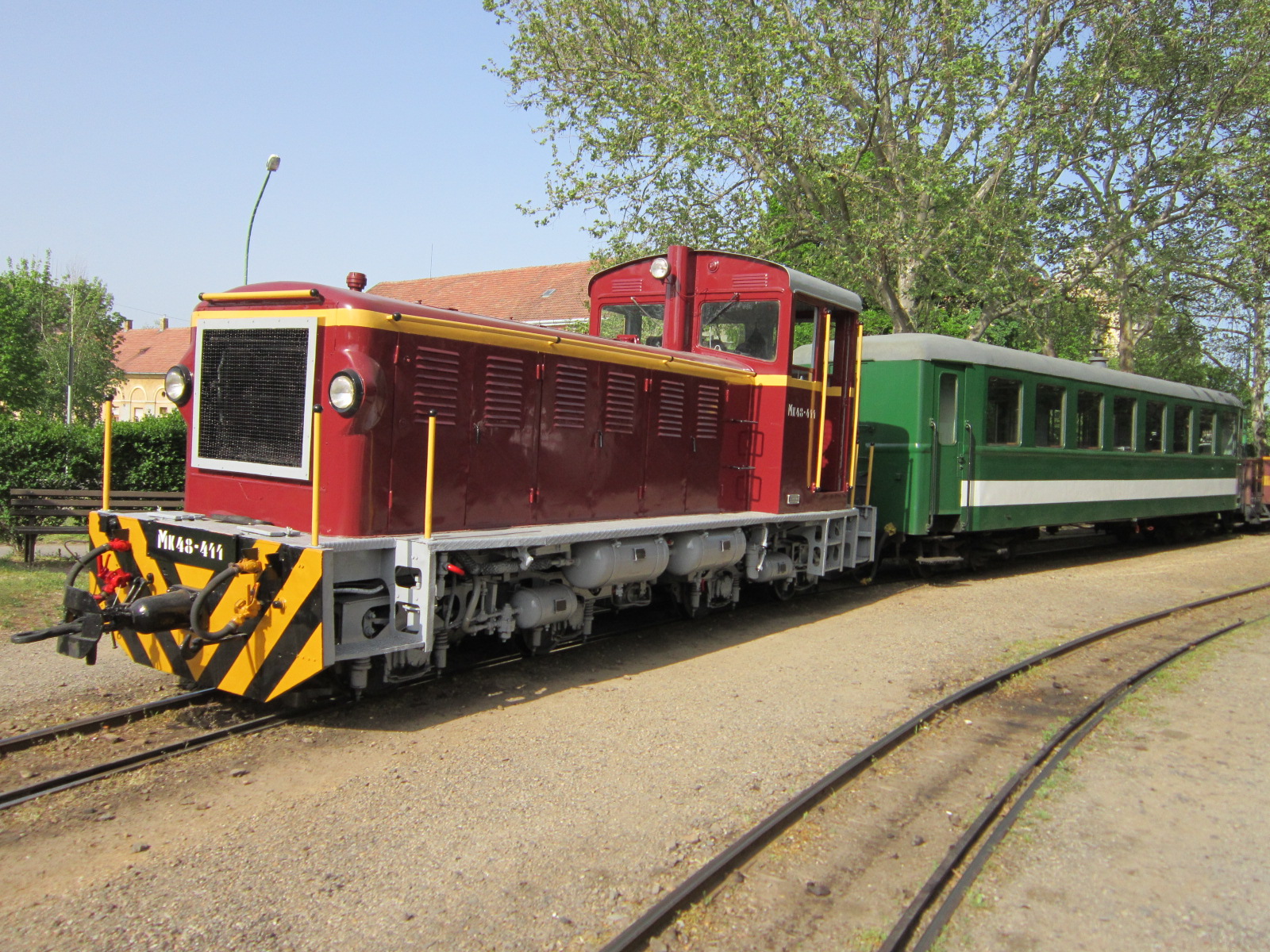
Kékestető is located in Mátra, which is a mountain range in northern Hungary, lying in Heves and Nógrád County.  For those hikers who want to climb the peak from the very foot of the mountain, Mátrafüred is an absolutely ideal place to start. From Budapest, buses go there roughly every hour, but there is a more adventurous way to approach Mátrafüred. (For a current bus schedule click on the relevant part of the sidebar in the blog)! There is a narrow-gage railway line between Gyöngyös and Mátrafüred, so if you are bored with the regular means of transport, try this! It is cheap and fun; find the train schedule and list of fares here. Students can enjoy the 50% fare discount, (595HUF) however a full fare ticket is not too costly, either (995HUF).  


After the bumpy trip on the old carriages, you arrive to Mátrafüred which is a calm village, but a really great starting point. You can even rent a Segway, close to the railway station at this shop. Click here for the English website! 

From Mátrafüred, several safe hiking trails lead to the top. Each sign has been repainted recently, so following a trail you selected before is quite easy. The terrain is demanding: rocks are everywhere, and you have to cross numerous creeks. It was not similar to the other hikes I did before in Hungary. In addition, the weather was so hot on the day of the hike I almost melted. Leave your tough hiking trousers and waterproof gaiters at home; it is time to wear shorts and sprinkle truckloads of bug spray on your body. Annoying small insects are everywhere, some of them want your blood, so be careful.


There are more than four trails leading directly up to the top, but I wanted to lengthen the hike by looking for a more complex way. I visited Vályus-kút, which is a stream close to a shelter house and a resting-place. Négyeshatár kilátóhely (801m) was another checkpoint and I also passed Disznó-kút (highest lying spring in Hungary – 960m) on the way up. This was my way:


Mátrafüred - PZ/Z -Vályus-kút - Z+ - Négyeshatár kilátóhely (801m) - P/PO - Disznó-kút (960m) - PZ - Kékestető - K+ - Remete-barlang - K+ - Mátrafüred


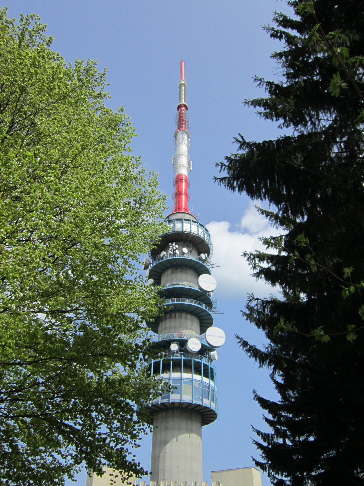
When I arrived at the top, I was a bit disappointed, because I expected a new vista and I got nothing. It was only a stupid first impression, though, because the broadcasting tower, located on the top, is open for tourists and it is worth buying a ticket and climbing up. (Real hikers don’t use the elevator, but the stairs!!!) In clear weather the landscape is beautiful and you can feel how special it is to be up there… Entrance fee is 480HUF for adults; there is 50% discount, but unfortunately for children under 14. 

The Tower

Panorama - click for original size!

The way down is also amazing. I went on K+, which goes through fields, leads to a small cave, (Remete-barlang) and the ruins of Benevár. If you arrive back to Mátrafüred, visit the local pub called Mátrai Betyár Söröző for a cold draught beer and think of the beautiful hike you have just done. Kékestető requires more hiking experience and endurance, but if you really want to reach the top do not hesitate. Take a look at the bus schedule, take a day off, put on your boots and go! 

4/28/2013

Look-Out Towers of Sopron-Mountains

I really enjoy watching spectacular panoramas. It is so relaxing and reloads you after the long way to a peak. I have already written about Sopron-Forest Park, but there is always something new to write about. This area is the land of mild downhills and silent valleys. There are 7 lakes, 20 creeks, and more than 40 streams waiting for hikers to explore them. 

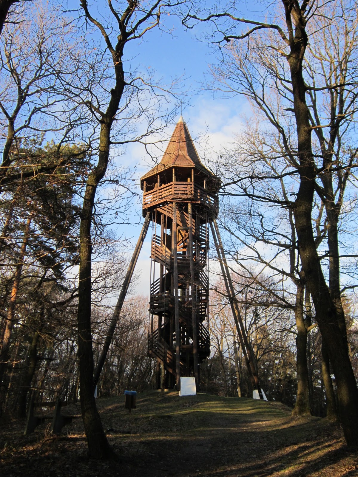
I started this with my love to panoramas and landscapes, so let us focus on look-out towers of Sopron-Mountains. 6 of them are located in this region, giving the excellent opportunity to look around from the top of the hills and see the surrounding landscape. In this post I would like to write about 3 must-see look-out spots. Admission to all of them is free!  

Sörházdombi look-out tower: 
Sörházdomb is a 300m high range of Sopron-Mountains. After WWII, the old tower was demolished at this place, but in 2006 the local government got a new one built made of wood. This is the youngest look-out tower in the region. It is located close to the city; therefore, it is an ideal destination of afternoon walks or short hikes. You can approach it by following the “green triangle” sign. 


Várhely look-out tower: 
This is one of the oldest towers in Sopron-Forest Park, located at the early Iron Age (750-400 BC.) hill fort, hidden in the deep woods. (For more details, see my post about Cyclamen-educational path!) Start your journey there from Kertváros-Felső bus stop (bus number 3 or 10 terminates there) and follow the cyclamen or the “yellow triangle” sign. From this spot the following are visible: 

Sopron, Sopron-Bánfalva, Bécsi-hill, Fertő/Neusiedl
The peaks of Sopron- and Rozália-Mountains 
Forchtenstein Castle and Schneeberg (Austria)


Károly look-out tower: 
This is the most popular look-out tower near Sopron, named after Károly Romwalter, who was a typographer and an enthusiastic hiker. In 1876 he got a wooden tower built. This was demolished and rebuilt several times, but since 1936 a 23m high tower, built of stone, stands at the top of Károly-hill. It is frequently visited, so one can approach it by following several trails and even a tarmac road leads there. 


Visit these places for engaging panorama and experience how small we are from a different perspective!

4/21/2013

Random Hike


I’ve already written about the region called Pilis, but I’ve been there several times, so I can share more of my experiences with you about it. It is absolutely ideal for beginners and advanced hikers as well. 

Once I decided to go for a short hike at Pilis Mountains and a friend of mine joined me. He lives in Piliscsaba, so we agreed to make this town the starting point of our hike. We met at the railway station at about 9 AM, but didn’t have a concrete destination or idea; we just wanted to be out in the nature. Random enough, right? 

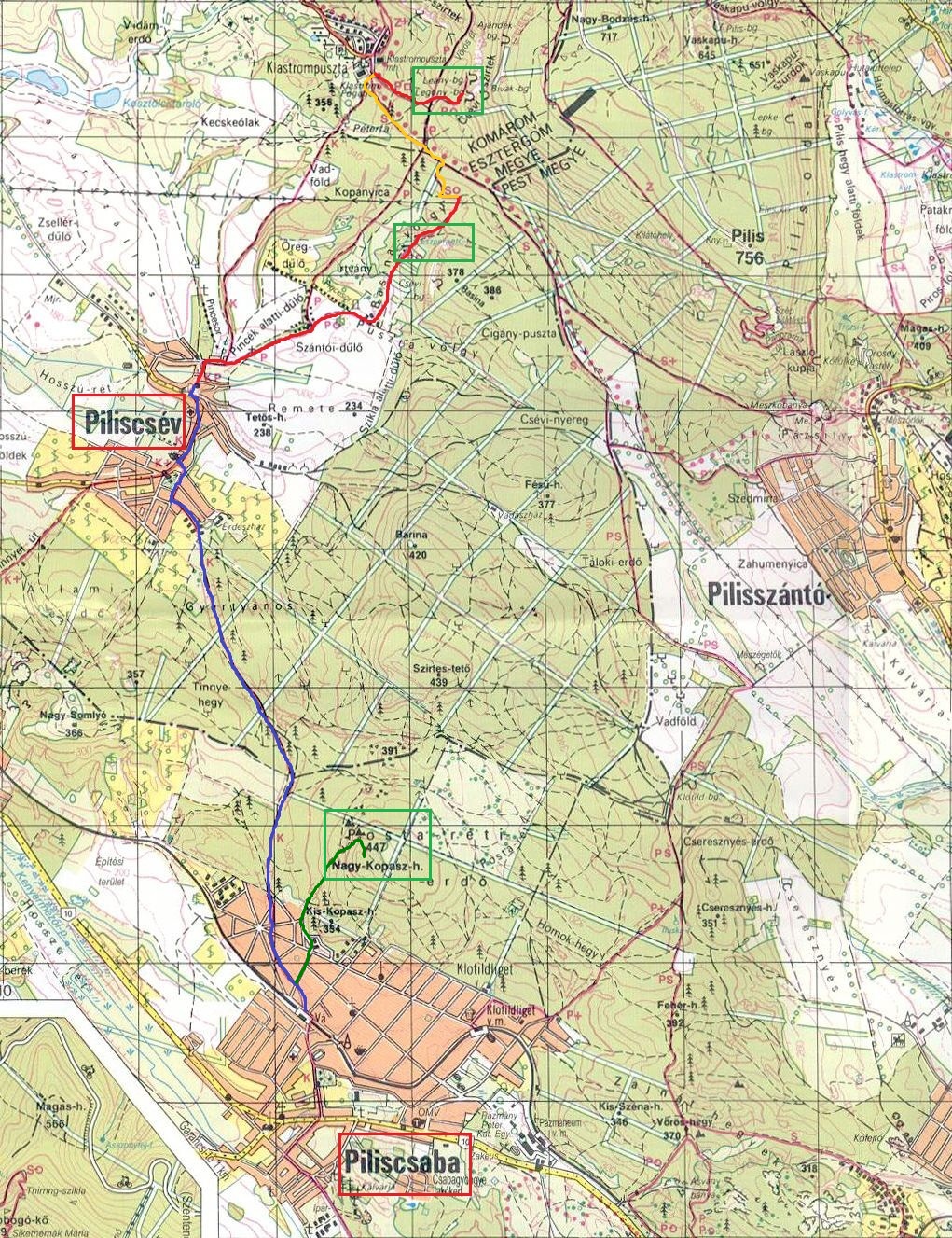
Careful planning is great but not everything. Sometimes, spontaneity makes a bigger and more joyful experience. I always take a map with me if I go outdoors. We took a quick look at it with my friend and after some consideration we decided to go to Nagy-Kopasz, (that’s simply a peak of a nearby hill) Eszperantó-forrás, (a calm resting place with a stream) and Leány/Legény-barlang (two small, but amazing caves, near Klastrompuszta).  See the map below for the details and relevant trails.


We climbed Nagy-Kopasz (447m) first, which was not tiring at all, but the panorama from the peak was great. It’s also an ideal place for one-night camping. We had a little rest there and continued our hike to Piliscsév. We were walking on marked hiking trails; thank God, we didn’t get lost! Piliscsév is calm, but rather boring village, we didn’t spend too much time there. The next station was Eszperantó-forrás. Personally, I like streams because fresh spring water always quenches my thirst. However, the stream was wizened. Bad luck… Anyway, we got to know that going there didn’t make too much sense. The last stop was at the two caves, but before arriving there we went through Klastrompuszta, which was even more silent than Piliscsév. There are ruins of a monastery built by The Order of Saint Paul the First Hermit which is a Hungarian founded religious order. Finally, we arrived to the caves. In Hungary, there aren’t too many huge caves, but smaller ones. According to legends, some monks were living in these caves, hiding in the woods. Leány- and Legény-barlang are spectacular and these are good shelters, so if you are about to encounter a storm and you are hiking there, you should definitely look for these!  

Unfortunately, I didn’t have a digital camera back then, so I can’t include good photos. (I used my friend’s smartphone to take some photos, I am not satisfied with them)…  

Panorama from Nagy-Kopasz

4/14/2013

My Gear

When I started hiking, I didn’t set a high value on my equipment. I just put on old leather boots or sneakers and went outdoors. Once, I climbed Hochlantsch (Austria, 1721m) wearing shorts and trainers and surprisingly my socks didn’t get wet, but I caught a cold and so on… This story made me realize that gear is very important and there are situations when you can’t dispense with proper clothing or tools.

Footwear: 
When buying new hiking boots, make sure you select a waterproof one! If your boots get soaked, the remaining part of your hike can be terrible. Consequently, wearing improper footwear doesn’t allow you to enjoy your hike, since you always need to pay attention to each and every of your steps. Hiking is about experiencing nature around you. Why would you spoil this by having low-quality shoes? 

Currently, I wear Quechua Forclaz 600 when I’m hiking. (Click on the link for technical details and excellent photos of the boot). It’s absolutely waterproof, comfortable, made of high-quality materials, and ideal for all-day hikes. 


Gaiters: 
At first I didn’t know why to wear these. The reason is simple: they protect your shin from wetness, mud, and sharp underwood. Good gaiters make hiking comfortable even in knee-high snow or on extremely muddy trails. What is more, it prevents your trousers from getting dirty and soaked. I possess a Tatonka Gaiter 420 HD

Without gaiters you'll be this dirty!

Raincoat: 
You can never trust weather forecast; therefore, always take a reliable raincoat with you. No doubt, a well-ventilated rain jacket is essential. Airing is important: a good mackintosh protects you from rain, but lets your sweat out, so you won’t be streaming with perspiration. Unfortunately, I don’t have a really good one yet, but I plan to buy one soon. 

I think these are the most important parts of one’s gear when going to one day hikes. Of course, you can have special trousers, socks, and rucksack but these are not essential. Personally, I use old military training trousers and a worn-out backpack. I’ve never encountered problems with these, they are quite okay.  Spring has arrived!!! I hope I can write a hike report to you next week. Stay tuned! 

4/04/2013

Before You Go...


Because of all the tasks I need to do, I can’t go for a hike this weekend. What’s more, the weather is still gloomy and rainy; floods and inland inundation would make hiking unpalatable. Some roads are covered with snow and ice and water level of rivers is still rising because of last week’s rainfalls. I am also feeling under the weather a bit. Is this something worth complaining about? Certainly not! 

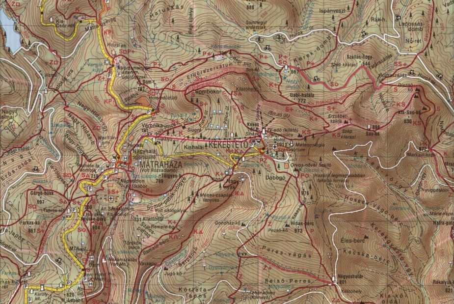
If you can’t go for a hike, do some planning for the next one! That’s what I was doing when I decided to write this post. I have never been to Kékestető, the highest peak of Hungary (1014m), and I really eager to visit this place. After visiting Bakony I would rather hike in Mátra, Kékestető belongs to this mountain range. As I was looking for hiking trails I found some handy websites which are in English, so you can read them and make your planning much easier.

Map of Kékestető
Click here for information about sights, activities, and accommodation in Mátra!

Another place you may want to visit is Rám-szakadék. It is similar to Holdvilág-trench, but this gorge is longer, deeper, and more spectacular. Travel to Dömös and start the hike to Rám-szakadék there. Don’t try to go through it when the weather is rainy or it is snowing. Always follow the path there and don’t try to climb out of the ravine because it’s life-threatening. Only do the hike from Dömös up to Dobogókő and not the opposite way. (Otherwise, “traffic jams” will occur in the gorge).

Just one more place to mention: Balaton Uplands (Hun: Balaton Felvidék). Spectacular!!! I’ve been there last fall, but the weather was so foggy that I can’t even make a satisfying photo…   


If I have the time and the weather is better than now, I will definitely visit these places and shoot photos near Lake Balaton again.


4/01/2013

Others About Cyclamen


I was reading the statistics page of my blog when I saw that someone found my corner of the web by searching for the term „cyclamen trails”. I knew that my post about the hike near Sopron was the most popular so far, but quite frankly I was a bit surprised. I wanted to see what the first hit for the same search was, so I typed these words into Google and found this.


Yeah, I know it’s a pretty short summary of the hike; however, it’s good to see that visiting this educational path is recommended by not only me but others as well. I just simply wanted to share this website with you, so you can compare my post about Cyclamen path to the external summary. Which one makes you more motivated to visit the woods near Sopron

3/29/2013

What happened in Bakony?

-3°C, chilly wind, overcast sky, muddy roads, huge meadows, and the unique scent of growing wood garlic. It’s high time I shared my experiences about Bakony with you!

In my previous post I was complaining about bad weather conditions and the lack of hiking companions. To tell you the truth I was thoughtless. I made it on Saturday and two of my friends joined me. Success!


Let’s start from the beginning. I always write the “how to get there” part in my posts; however, I don’t give you instructions about where to find Hungarian bus or railway schedule. Problem solved! In the sidebar of the blog (under the slideshow) you can find both of them. Click on the links; the websites are in English.  

This time, we took a bus to Herend, but it was crowded and slow. If you take my advice, you would rather go by train. Taking a bus was also disadvantageous, because the first trail we went on with the guys started from the railway station, so we had to cross the village, looking for the proper way. But that’s a feature of hiking, right?

Contrast

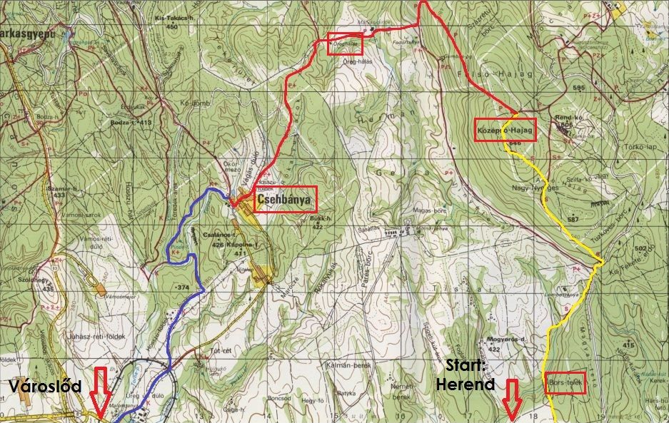
Bakony is a quite big mountainous region in Hungary, so you can hike in it for days. We didn’t have that much time, so we did a 26km hike. We set off from Herend and arrived to Városlőd via Csehbánya (Ger: Böhmischhütten) which is a small village with less than 300 inhabitants. It was like a ghost town; silent, motionless. The weather was chilly, but I didn’t expect any snow. Unfortunately there were snowy trails and areas covered by blanket of snow. Nature was still asleep. (Spring, where are you?)


What's your impression?


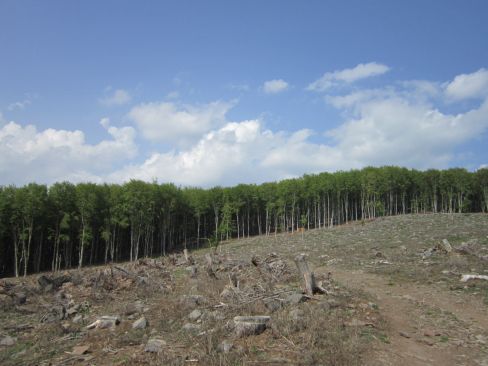
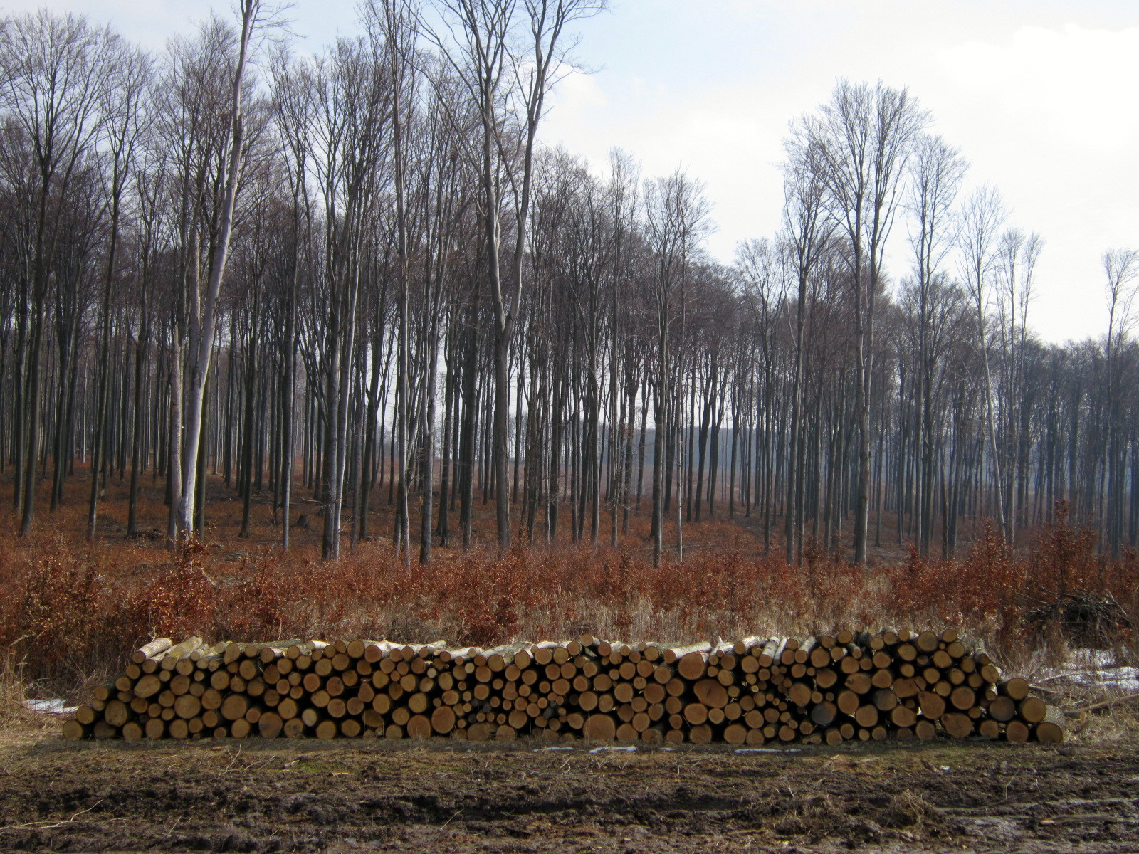
We were halfway on the trail when we ended up on a deforestation area where workers left only some slender trees. This big open space seemed strange to me, but there was something beautiful in it.


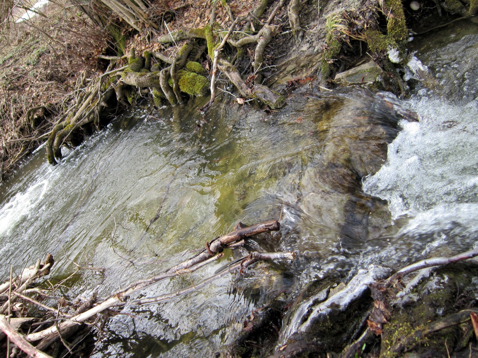
Another spectacular part was the valley of Torna-creek. We had to cross riffles several times and this made the hike more exciting and demanding, since the valley was the last part of the hike. Additional info: it is easy to get lost in this hike… Some hiking signs are missing because of the recent deforestation. Bakony is beautiful, but it could have been more colorful when we visited it. 

Torna-creek
I am really looking forward to spring, maybe it brings less rain and more sunshine.

3/21/2013

Visiting Bakony this Weekend


Bakony, located in Veszprém county, is a mountainous region and the largest part of Transdanubian Mountains. Although, it’s raining cats and dogs right now, the hope dies last, you know… I hope I can make it Saturday. I’ve found a 25 km long trail; the elevation is 450 m. I’ll approach the start from Budapest and set off from Herend railway station at about 9 AM. The destination is Városlőd. If you would like to join, contact me. Originally, I have two companions but presumably, they will back off. (I understand their reasons, not everyone is a fanatic)...  Stay tuned! 

This would be the trail